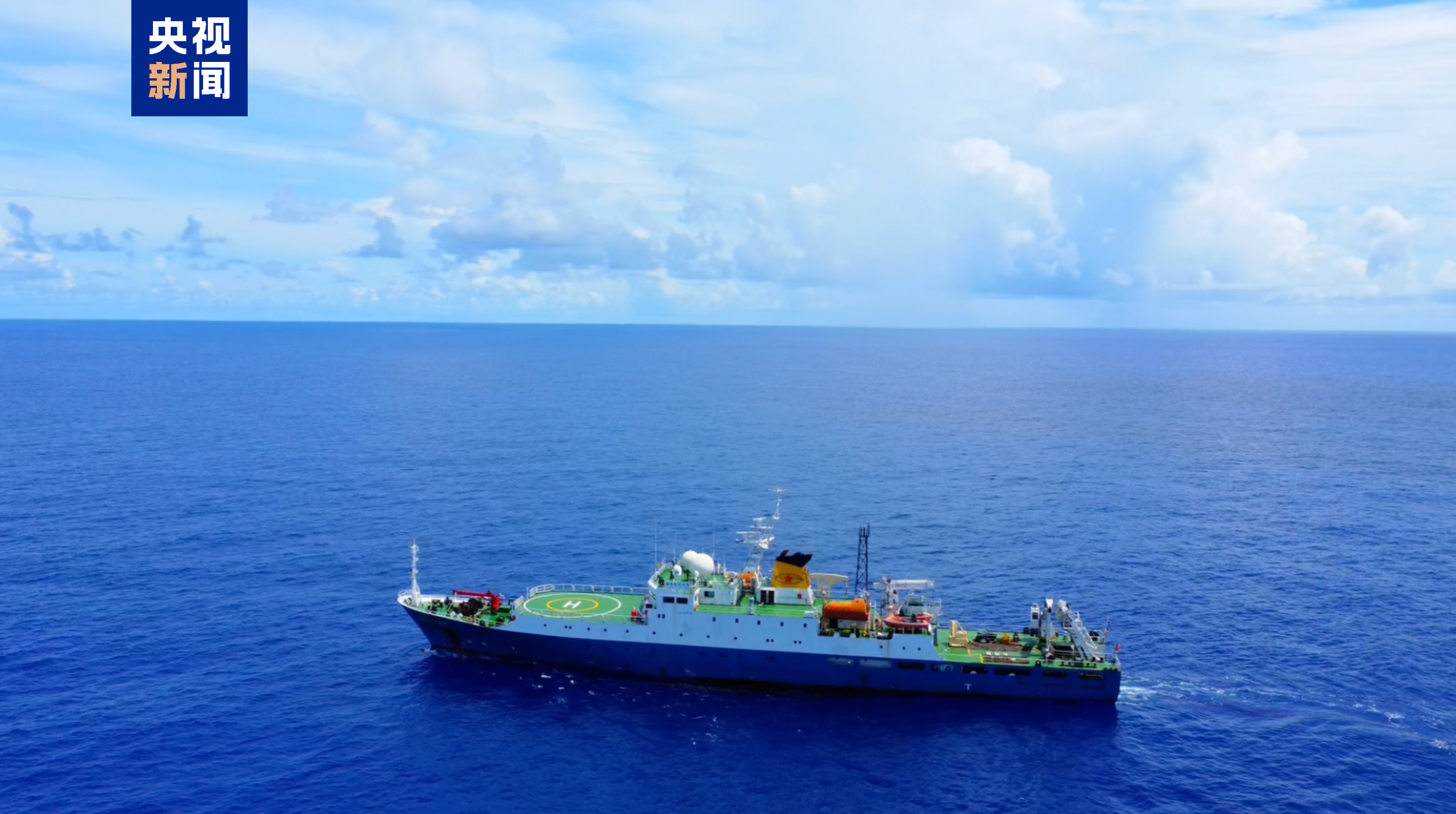
According to the China Geological Survey, the research vessel "Haiyang Dizhi Liuhao" has successfully completed the second leg of its 15th deep-sea geological survey voyage, and several scientific findings were officially released today (10th).
What's in the deep sea? Exclusive footage released.
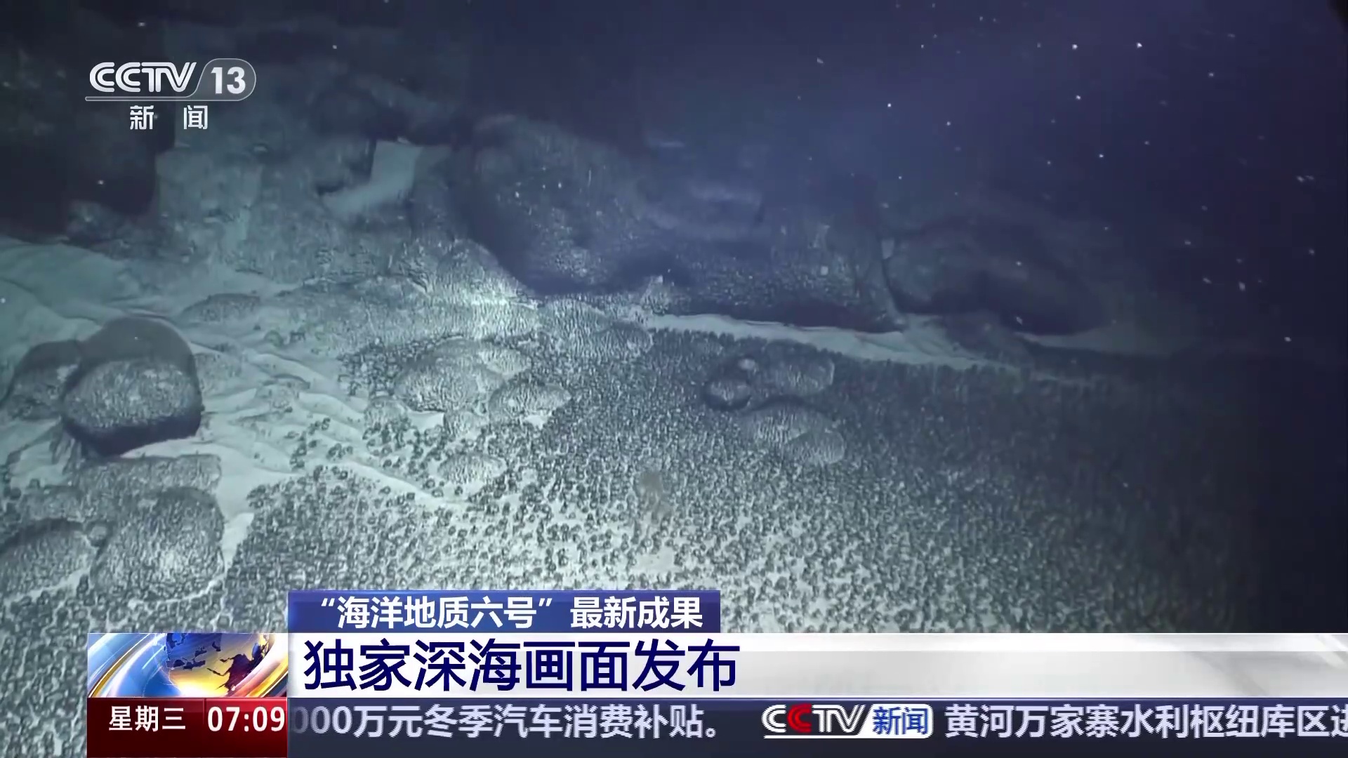
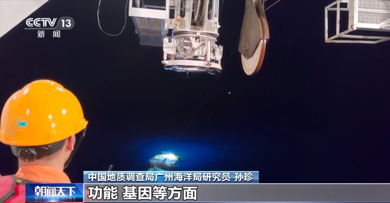
The latest findings from the "Haiyang Dizhi VI" research vessel not only include important scientific data, but researchers also captured exclusive deep-sea footage using an underwater robot. What was captured in the deep sea? How does this help us understand the deep ocean?

The video shows polymetallic nodules on the seabed, mainly distributed in deep-sea basins at depths of 4,000 to 6,500 meters. They are mostly spherical, ellipsoidal, or clastic in shape, with a diameter of 3 to 10 centimeters. The surface is black or dark brown and is mainly composed of iron and manganese oxides and hydroxides, rich in key metallic elements such as cobalt, nickel, copper, and manganese.

Sun Zhen, a researcher at the Guangzhou Oceanographic Bureau of the China Geological Survey, stated: "It is the deep-sea mineral resource with the widest distribution, the greatest resource potential, and the most promising development prospects. It is an important replacement resource for key terrestrial metallic minerals in China and is of great significance to ensuring China's resource security. Each nodule is a record of deep-sea environmental changes over the past 30 million years. During its growth, it records some characteristics of the marine environment at that time, which is of great scientific significance for our study of seabed mineralization processes and environmental changes."
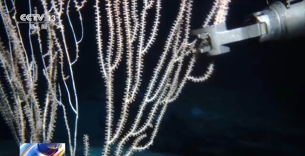
Deep-sea corals
The image above shows deep-sea corals, which typically grow in deep-sea areas tens to thousands of meters below the surface. They can thrive in the dark, cold waters of the deep sea, providing excellent habitats for fish, shrimp, and crabs, and are important "indicator organisms" for studying marine paleoclimate and ecological environment.
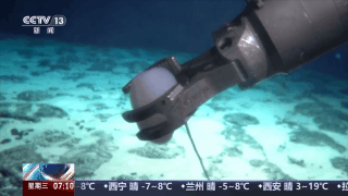
Deep-sea sponges are marine organisms that are being harvested by a robotic arm. Together with corals, sea anemones, and other organisms, they form a unique deep-sea ecosystem and a precious resource treasure trove, offering broad application and research prospects for our study of marine compounds and biomedicine.
Sun Zhen: With the continuous improvement of deep-sea exploration technology and equipment, scientists have successively discovered a series of deep-sea biological resources with extremely high scientific research value and potential application prospects. In addition, by conducting in-depth research on the morphology, function, and genes of deep-sea biological resources, we can also better understand the origin and development of deep-sea life and promote the development of life sciences.
First high-quality electromagnetic observation data acquired in the deep Pacific Ocean
During its scientific expedition, the research vessel "Haiyang Dizhi VI" completed its first deep-sea electromagnetic profiling measurement in the Pacific Ocean, acquiring high-quality electromagnetic observation data from the deep Pacific. Experts told reporters that this data can help us in future ocean drilling site selection.

The image below shows the electromagnetic profile obtained in this study of the Pacific abyss. It's like performing a "CT scan" on the Earth, analyzing the natural electromagnetic field signals inside the Earth to discover the electrical characteristics of rocks deep underground, thereby inferring the geological structure, material composition, and even temperature state.
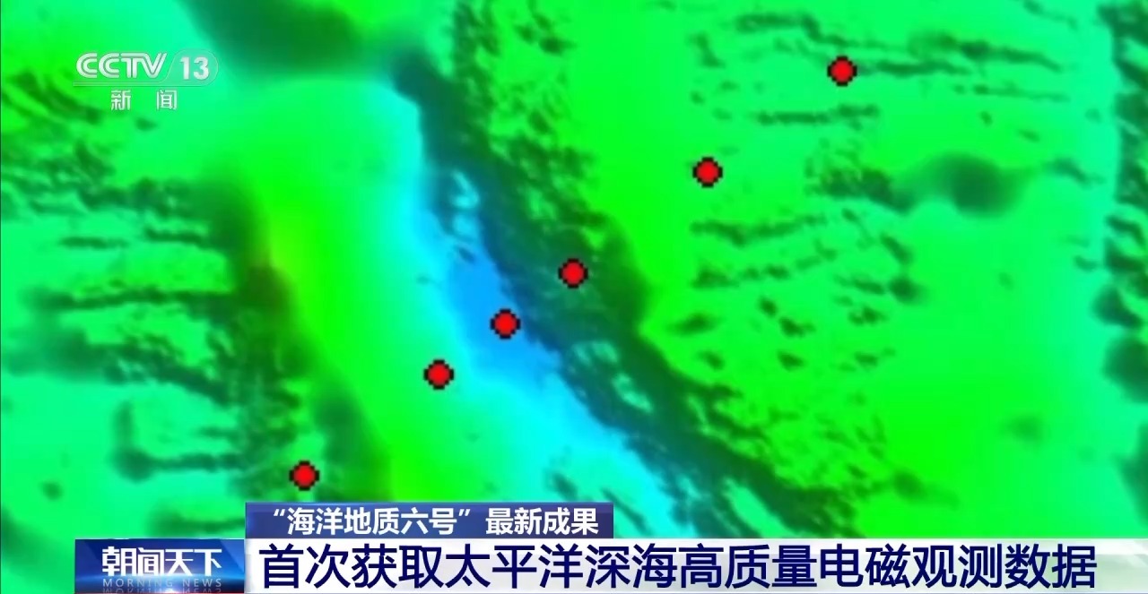
Electromagnetic profiling map of the Pacific abyss
Sun Zhen: The blue area is very deep, which is the deep seabed of the western Pacific Ocean. The profile we observed this time is more than 100 kilometers long, spanning the mid-ocean ridge of the West Philippine Basin. After a series of processing steps, we obtained a two-dimensional resistivity image of the area beneath this ancient spreading ridge. We determined that at a depth of about 50 kilometers, it is at the interface (boundary) between the lithosphere and the asthenosphere.
The first deep-sea electromagnetic profiling measurement was completed in the central rift valley of the western Pacific Ocean, with a maximum depth of 7,663 meters. The high-quality electromagnetic observation data obtained can provide data support for subsequent research on the deep tectonic evolution of the Earth and the site selection of ocean scientific drilling.
Song Laiyong, technical director of the "Haiyang Dizhi 6" vessel of the Guangzhou Oceanographic Bureau of the China Geological Survey, said: " This will strongly promote the production and application of our self-developed deep-sea exploration equipment. The data we have obtained also provides a good foundation for conducting more detailed geological surveys in the region in the next step."
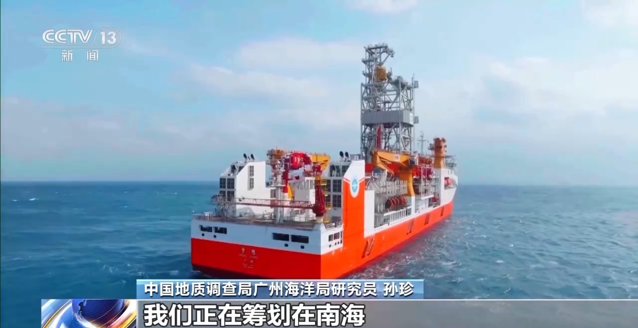
Sun Zhen: We have been conducting site selection studies for ocean drilling, and these methods will tell us what the deep-sea areas to be drilled are like. We have formulated a 10-year action plan for the "Dream" ocean drilling vessel, and we are planning a trial drilling mission for ocean scientific drilling in the South China Sea to promote the production of major original results.